eGeo Tech
Geo-Intelligence for a Sustainable Future
Contact Us
About Us
eGeo Tech Private Limited is a leading service-oriented company,
delivering expert solutions in Ecology, Environment, GIS, Remote
Sensing, and related IT applications since 2018. We are committed to
providing environmentally sustainable solutions, leveraging cutting-edge
geospatial technologies to support environmental conservation. Our core
expertise includes environmental impact assessments, GIS data analysis,
geospatial field data collection, surveying, remote sensing, drone
technology, LiDAR applications, and IT-driven GIS solutions in the form
of web and mobile applications. At eGeo Tech, we prioritize top-quality
services with a focus on environmental preservation through advancements
in Geospatial technology. Our collaborations with government agencies,
private enterprises, and research institutions enable us to implement
impactful, long-term solutions for a brighter and more sustainable
future.
Our Mission
We are dedicated to fostering a sustainable
environment through eco-friendly innovations. By developing advanced
IT-based GIS products, we aim to support environmental monitoring and
conservation efforts. We believe GIS and IT are essential for enhancing
ecosystems, and our commitment lies in delivering solutions that drive
environmental sustainability.
Our Vission
Our goal is to integrate sustainable technologies at the grassroots
level, benefiting both rural and urban environments. By leveraging GIS
and remote sensing technologies, we seek to enhance water and energy
conservation, contributing to sustainable human development. We firmly
believe that continuous innovation is vital for long-term technological
progress.
Our Goals
Develop and implement technologies that promote environmental sustainability.
Conduct environmental impact assessments and design effective management plans.
Utilize GIS and remote sensing for smart land resource management solutions.
Innovate and create advanced geo-spatial solutions for environmental conservation.
Our Services
At eGeo Tech Private Limited, we integrate GIS, Remote Sensing, and
drone technologies to provide data-driven environmental solutions. Our
services focus on sustainability, precise data collection, and strategic
planning for informed decision-making.
We collaborate with Government Agencies, Private Enterprises, and
Research Institutions to drive Environmental Preservation and
Technological Innovation.
Field
Survey
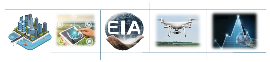
We
conduct
GIS
data collection, field interaction surveys, and Total Station
surveys
,
supporting project planning and map creation. We also
prepare
Detailed
Project Reports (DPRs)
for
comprehensive documentation and effective implementation.
GIS
Data Creation & Analysis
Our
geospatial expertise enables
drone
surveys, remote sensing, and spatial data analysis
to
build accurate GIS databases. These databases help in
monitoring,
risk assessment, and environmental planning
.
Web
& Mobile GIS Applications
Sample text. Click to
We
develop custom
GIS-based
web
and
mobile
applications
tailored
for various industries. Our solutions include cloud based
geospatial
data management
and scalable
GIS integrations for seamless operations.
select the text box. Click again or double click to start editing the text.
Environmental
Impact Assessment (EIA)
We
analyse the
environmental
impacts of projects
using
GIS and Remote Sensing, ensuring
regulatory
compliance
and sustainable strategies for
pollution
control, waste management, and ecological restoration
.
Socio-Economic
Surveys
We
assess
project
impacts on local communities
,
evaluating environmental, social, and economic effects to support
responsible development and improve community well-being.
Environmental
Data Analytics
By
leveraging
satellite
imagery, IoT sensors, AI, and big data
,
we monitor and manage environmental changes, predict climate
patterns, and optimize resource management for sustainability
Our Solutions
To create cleaner, healthier, and more welcoming spaces for our clients by delivering exceptional, reliable, and eco-friendly cleaning solutions. We are committed to enhancing lives through the power of cleanliness, professionalism, and attention to detail.
Environmental & Socio-Economic
Data Analytics
•Project Impact Analysis
•Pollution Level Assessments
•Socio Economic Impact analysis
•Agriculture and Forest Impact
GIS
& Remote Sensing Data Analytics
•High Resolution Image Processing
•Land Use & Land Cover Analysis
•Change Detection & Mapping
•Smart GIS Based Decision Support Systems
Our Projects & Collaborations
We drive innovative environmental and geospatial solutions through
cutting-edge research, GIS technology, and sustainable development
initiatives.
Projects
- Environmental
and Cultural Reviews/Evaluations - Microsoft Greenfield Data center
Project in Hinjawadi,
Pune - ARUP
- Forest
Biomass Assessment –
Renewable energy from surplus biomass for Multiple Talukas in Karnataka - KRDCL
- Mining
Impact Study –
Ecological impact assessment in Yadgir -ISEC
- Noise
Impact Study –
Noise pollution analysis and noise model generation for Bangalore Airport - Secon
- Web
GIS for Bangalore Development Authority – Digital parcel management system
- BDA
- Tree
Assessment & Greenbelt Planning– Afforestation & translocation
planning – BS
Envitech
Collaborations
- Ministry of Environment & Forests
- Indian Institute of Science, Bangalore
- State Agriculture & Forest
Departments
- University of Agricultural Sciences
- Dept of Environmental Studies, Bangalore
University
- Secon Private Limited
Our Partners
We turn geospatial intelligence into real-world sustainability solutions!
Contact Us
#511, 2nd Main 2nd Cross, L G Ramanna Layout, Laggere, Bengaluru, Karnataka - 560058
+91 99641 33073
contact@egeotechpvt.com